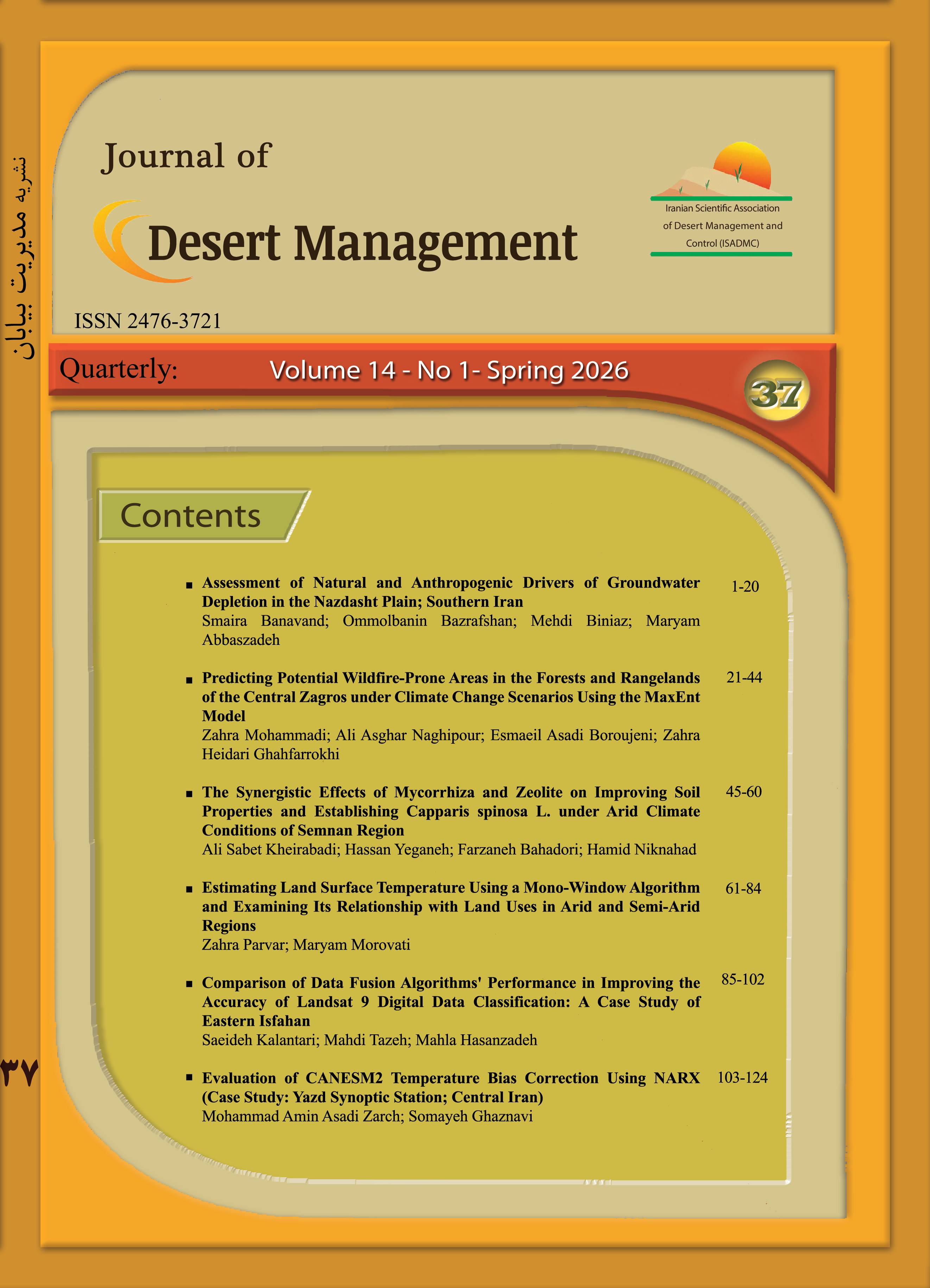
Desert Management

Desert Management

The Iranian Scientific Association of Desert Management and Control (ISADMC) has been approved authorization 126885 to publish a scientific and research journal entitled Desert Management in a letter dated 09/09/2012 from the Director General of Policy and Planning of Research Affairs of the Ministry of Science, Research and Technology. 


ISO Abbreviation: JDMAL

Publisher: Iranian Scientific Association of Desert Management and Control (ISADMC)

Date of Foundation: 2013

Frequency: Quarterly

Publishing System: Online

Country: Iran

Language: Persian with English Abstract

Peer Review Policy: Double Blind Peer Review

Article Processing Charges: 5,000,000 Rilas 

Publication Policy: Open Access

Journal rank based on the latest assessment of the Ministry of Science, Research and Technology: A (Scientific Journals Portal) (Ranking Certificate)

Impact Factor at the Islamic World Science Citation Center: 0.623 (View details)


“Journal of Desert Management, with respect to the laws of ethics in publications, is subject to the laws of the Committee on Publication Ethics (COPE) and complies with the executive regulations of the Law on prevention of fraud in scientific activities”.


In order to prevent Plagiarism, The Journal of Desert Management uses the similarity finding system of hamyab scientific texts, if there is even a similar sentence, the article is not accepted for review.


Creative Commons License
This work is licensed under a Creative Commons Attribution 4.0 International License.


Current Issue: Volume 14, Issue 1 - Serial Number 37, Summer 2026 (6 Article) 

Keywords Cloud

  • Desertification
  • Remote Sensing
  • Wind erosion
  • Drought
  • MODIS
  • Precipitation
  • Yazd
  • Climate change
  • Temperature
  • arid lands
  • Dust
  • Proline
  • Landsat
  • land degradation
  • Salinity
  • desert
  • Aerosol Optical Depth
  • Soil properties
  • Downscaling
  • Mann-Kendall test
  • Vegetation cover
  • Evapotranspiration
  • rangeland
  • Climate
  • Land use
  • human activities
  • Groundwater
  • IMDPA
  • Ground water
  • Potential evapotranspiration
  • AHP
  • carbon sequestration
  • NDVI
  • GIS
  • Soil Moisture
  • Sensitivity analysis
  • Seedling Establishment
  • linear regression
  • soil
  • Environmental factors
  • FAO-Penman-Monteith
  • Vulnerability
  • Land use changes
  • UNEP index
  • RDI
  • Kriging
  • Trend Analysis
  • Simulation
  • Google Earth Engine
  • Time Series
  • Mann-Kendall
  • Arid regions
  • object-oriented classification
  • Kappa coefficient
  • Land use change
  • Trend
  • ROC Curve
  • Land cover changes
  • Forecasting
  • Halophyte
  • Questionnaire
  • Haloxylon
  • HYSPLIT
  • Jackknife
  • Land suitability
  • Provenance
  • Interpolation
  • Greenhouse gases
  • Spatial pattern
  • Principal Component Analysis
  • Dust particles
  • Tourism
  • Emission scenarios
  • Weighted Linear Combination
  • Dust Rose
  • vegetation
  • Routing
  • Flood spreading
  • Soil erosion
  • Factor analysis
  • Albedo
  • Balochistan
  • Classification
  • population
  • Canopy cover
  • ASTER
  • Global warming
  • biochar
  • Electrical conductivity
  • habitat quality
  • Natural attraction
  • Chlorophyll
  • Persian Gulf
  • Combating desertification
  • Species uniformity
  • Relative humidity
  • Soil Degradation
  • Biological restoration
  • Garmsar
  • MEDALUS
  • Unit Hydrograph
  • pollution
  • Phenology
  • Random Forest
  • Water quality
  • Atriplex
  • Soil Salinity
  • Rainfall
  • Potassium
  • Field capacity
  • habitat suitability
  • plant species
  • Correlation
  • Arid Region
  • Zoning
  • Aggregate Stability
  • Sand dunes
  • Morphometry
  • Agricultural Lands
  • Desert pavement
  • Environmental hazards
  • geomorphology facies
  • MODIS Sensor
  • Structural Equation Model
  • Satellite images
  • SEBAL
  • Waste water
  • agricultural management
  • Technical spectrum
  • Soluble sugar
  • Underground Dam
  • Rainwater harvesting methods
  • the souther coast of Iran
  • Soil carbon
  • Climate Model
  • Paired comparison
  • Medicago sativa
  • Z-score index (ZSI)
  • Nitrogen
  • index
  • Ardestan city
  • crop production
  • geo-statistics
  • Frequency
  • Abarkouh
  • Salinity stress
  • Modflow
  • Sand Mobility Index
  • Source Dust Storm
  • Vegetation recovery
  • Boolean logic
  • Parametric test
  • Environmental security
  • Crop Coefficient
  • C4 grass
  • Sen slope estimator
  • ML
  • Streamflow Drought Index
  • Oxine
  • Validation procedure
  • Deontologist
  • Flexibility
  • Noush Abad
  • Mixed stand
  • Changes prediction
  • drought tolerance
  • Espiro Rangeland
  • Sabzevar
  • Changi Rangeland
  • Arid rangelands
  • Psammophyte
  • pixel-based classification
  • Rural Economy
  • Temperature Vegetation Dryness Index
  • Soil protection
  • Archeological Vermin’s Tappeh Mil
  • Change detection
  • Thermal band
  • Non- Parametric test
  • Horton
  • AOD
  • Rainfed Wheat
  • CMIP6
  • Functional divergence
  • Extract
  • Ecological constraints
  • Man-Kendal test
  • Species response curves
  • Simpson index
  • Growing Degree Days
  • Desert Management
  • Isfahan
  • Evaluation
  • Peroxidase
  • RDI index
  • Robinia pseudoacacia
  • Dogonbadan
  • Isfahan Province
  • The green water
  • Meankooh

Related Journals